Where we need a safe crossing for bikers and pedestrians
The Municipality’s Transportation Planning organization, AMATS, will soon be offering the opportunity to provide public comments on its draft non-motorized transportation plan.
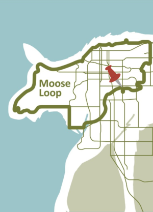
Although the 32-mile Moose Loop can be completed in its current form, there are some gaps in the route, navigation challenges, and a difficult crossing at Lake Otis on the Campbell Creek Trail. Help advocate for a safer bike and pedestrian crossing by signing this Safe Crossing Petition!